Garden State
Photographic room installation,
110 c-type photographs, 25cm x 25cm
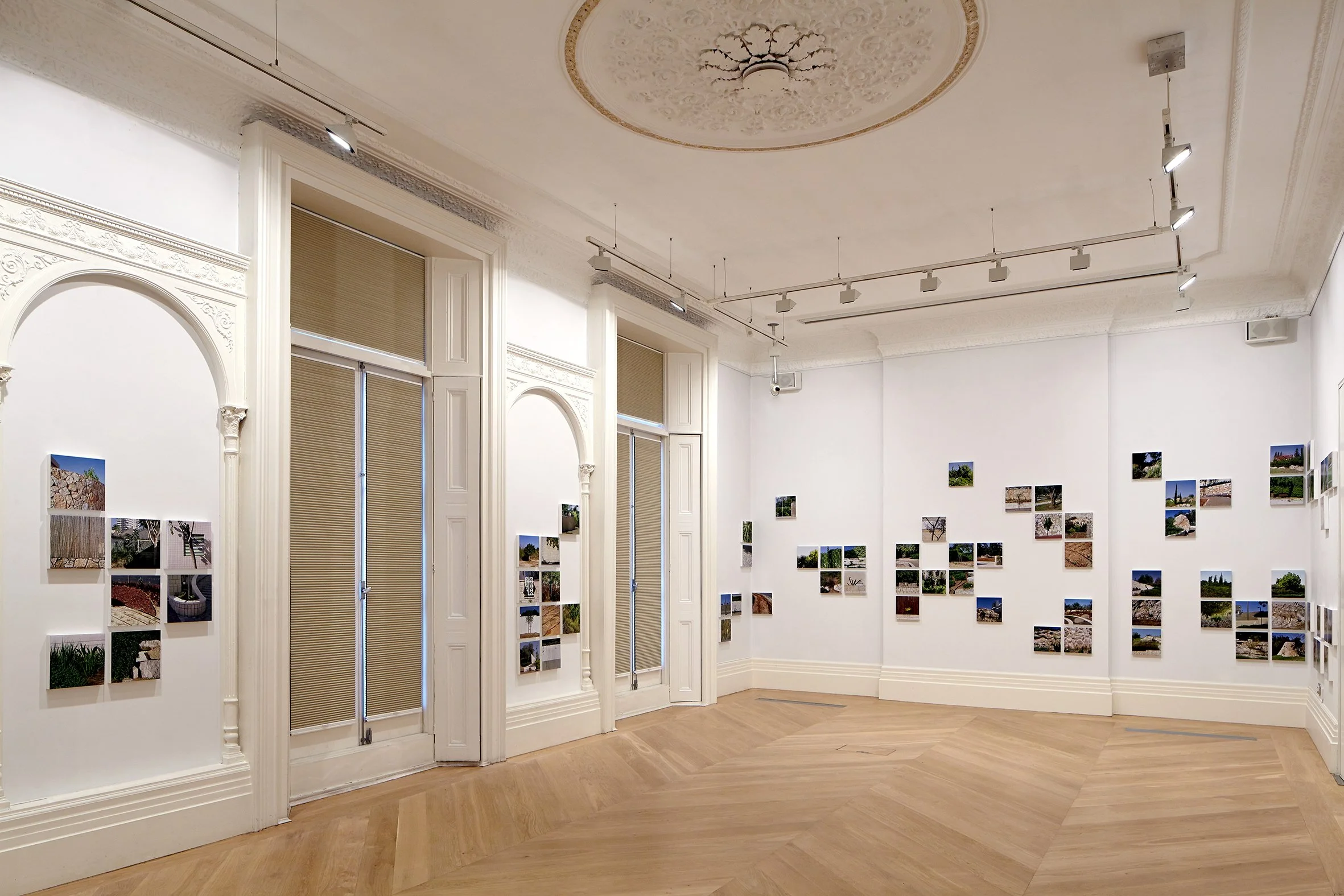
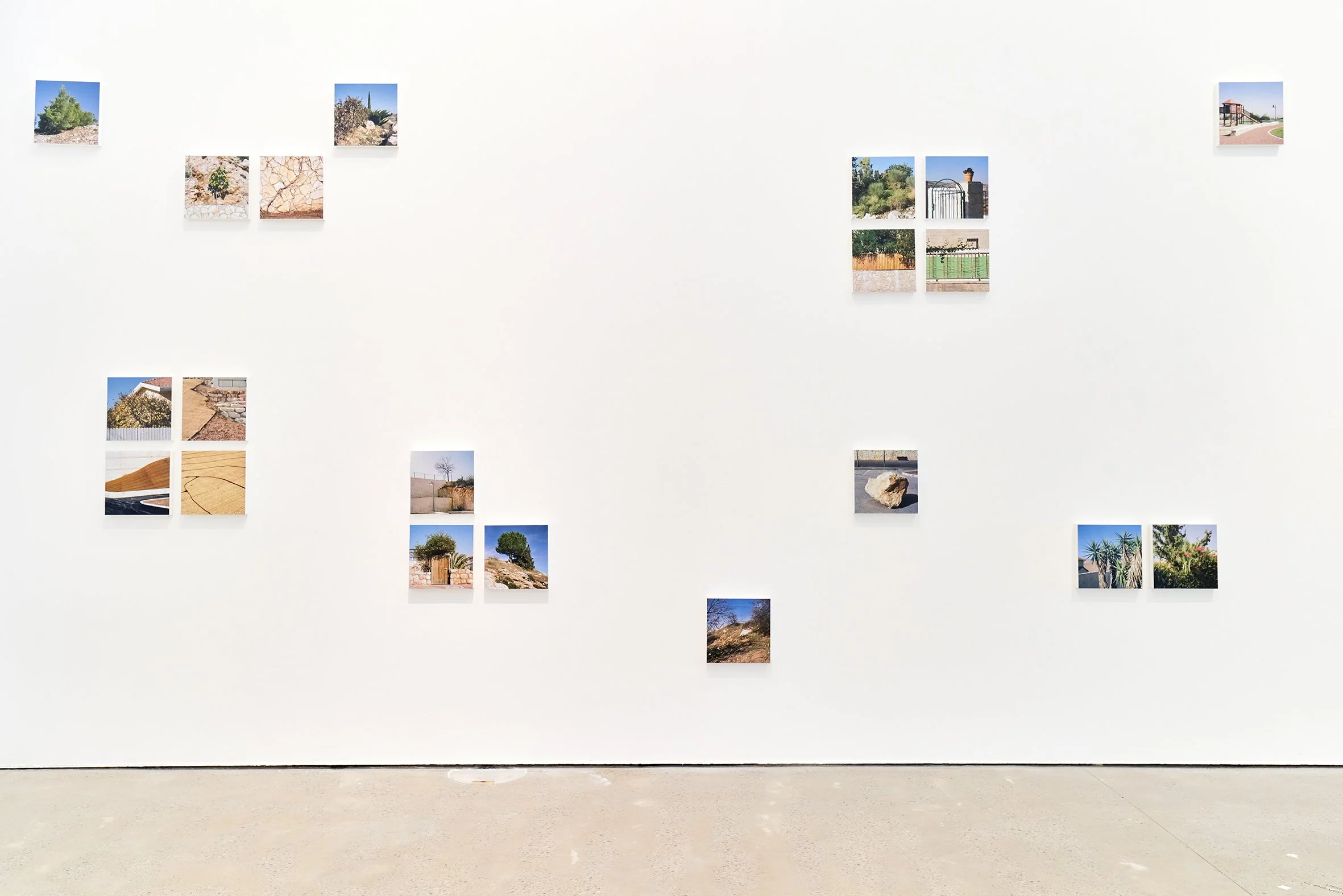
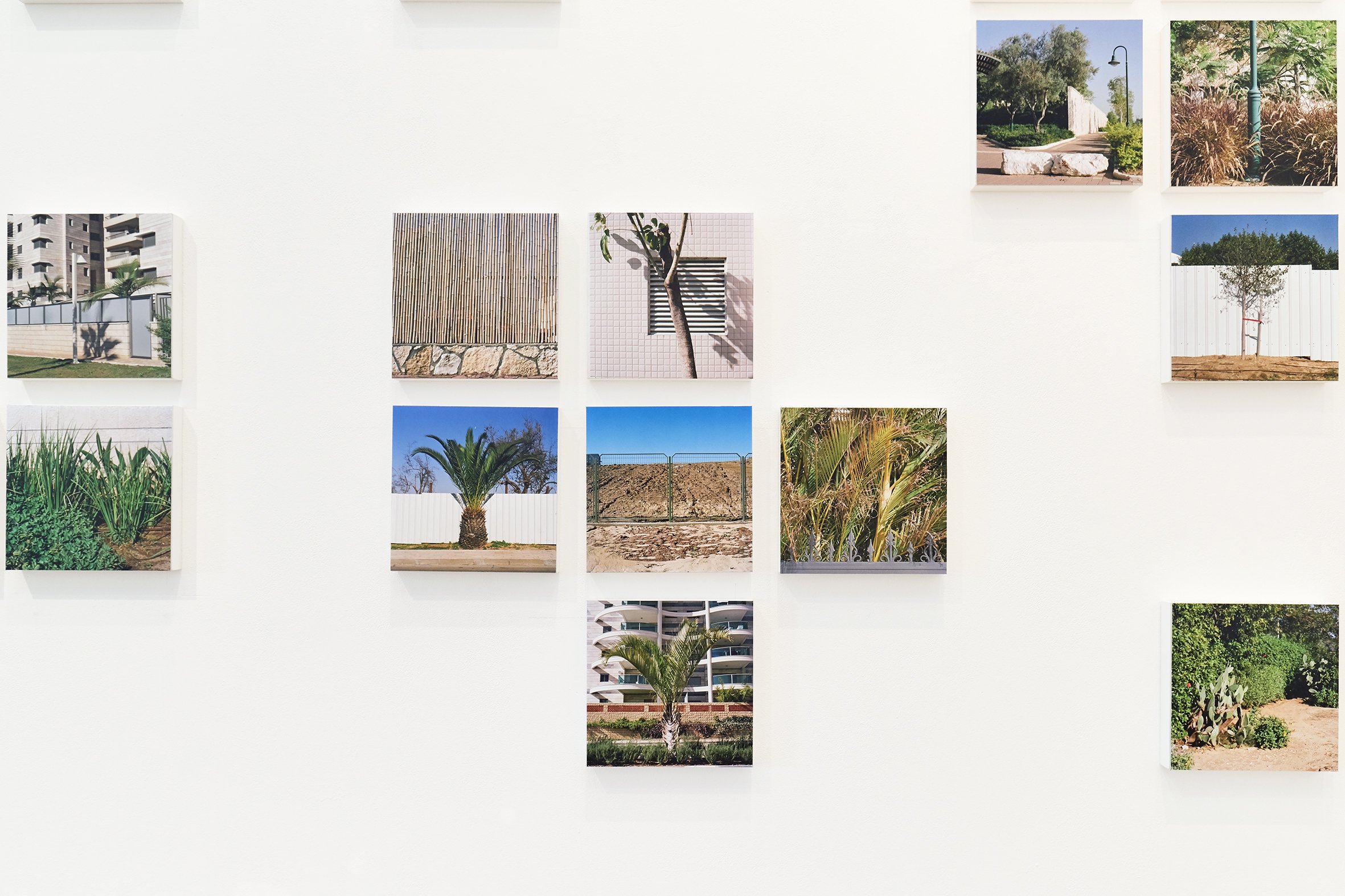
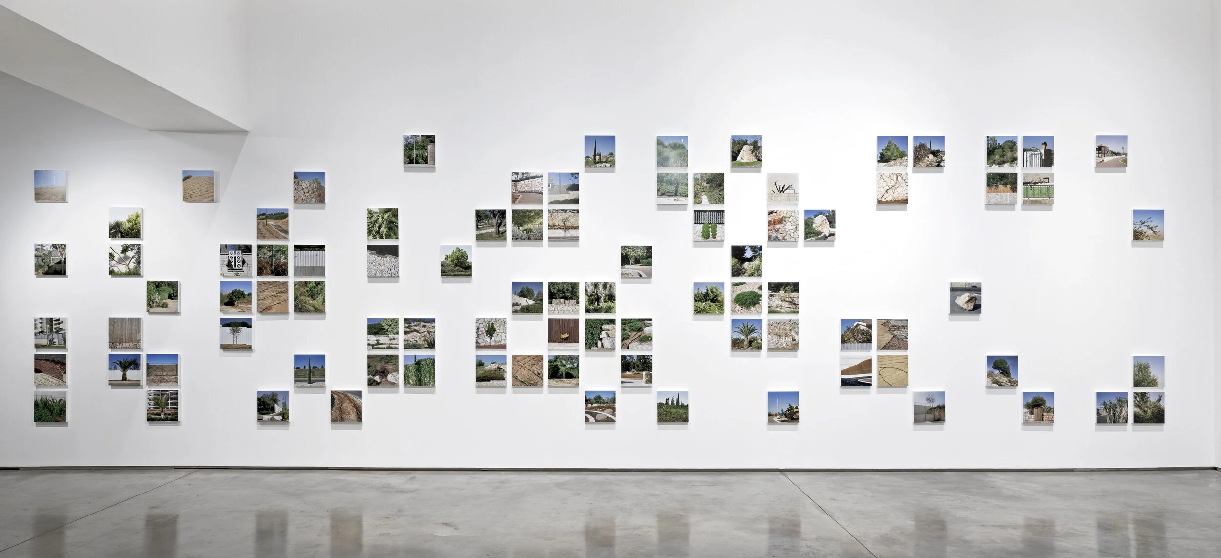
Gardens are micro-landscapes and gardening, like mapping, is a way of allocating territory. Over two years, Corinne Silva travelled across twenty-two Israeli settlements making photographs of public and private gardens, in order to explore the ways in which gardens and gardening may represent the Israeli State’s ongoing expansionist ambitions. Garden State (first shown as Gardening the Suburbs) takes the form of a large-scale installation made up of clusters of photographs of these Israeli gardens.
The Israeli State was formed in 1948, in a war that saw hundreds of Palestinian towns and villages destroyed and depopulated. It is referred to and remembered as al-Nakba or ‘the catastrophe’ by Palestinians. Subsequently the Israeli State began ‘New Towning’, in an aim to move Israelis beyond the urban centre of Tel Aviv into land from which the Palestinian population had been displaced, and to create Israeli communities with their own industry. Composed of clusters of photographs, Silva’s wall installation loosely maps these suburban gardens as they extend from the coastal areas surrounding Tel Aviv, across the Green Line and into the Occupied Palestinian Territories, as they cover over Palestinian villages destroyed in 1948, and cut off Palestinian communities in the West Bank from each other.
After the Six Day War in 1967, Israel occupied further Palestinian territory in the West Bank and Gaza. New settlements were built on illegally confiscated Palestinian land and this process has continued. Unlike the ‘New Towns’ built within the 1948 boundary, these gated communities, classified as ‘Quality of Life’ settlements by the Israeli State, act as commuter suburbs. The creation of a network of roads that connect the settlements to major urban centres (which only Israeli or international document holders can travel on) has provided the Israeli military with clear routes across the country. The diversion of water sources from Palestinian communities to the settlements is also part of this wider rerouting of the land.
Installation view, Garden State, Garden Futures: Designing with Nature, V&A Dundee, 2025-26
Installation view, Garden State, Her Ground: women photographing landscape, Flowers Gallery, London, 2019
installation view, Garden State, Visual Rights, Open Eye Gallery, Liverpool, 2020
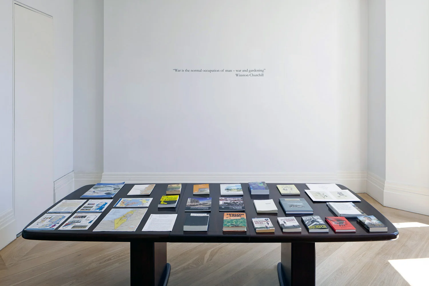
Reading room installation view,, Garden State solo exhibition, The Mosaic Rooms, London, 2015
Installation view, Gardening the Suburbs, solo exhibition, Makan Art Space, Amman 2014

